American Guerrilla Marketing
Nationwide serivce
Media planning, media buying, billboard advertising, & guerrilla marketing
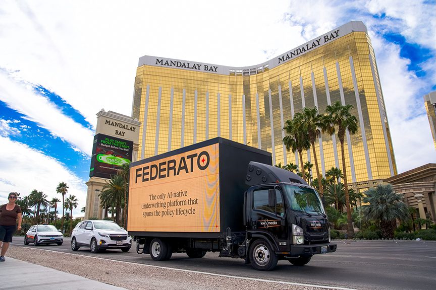
A billboard truck running the wrong corridor delivers impressions to an audience that was never the target. We map the routes that put your LED or static display in front of the specific people you need to reach, at the times they are actually there.
Our operators drive every route we recommend in person, assessing sight distances, traffic patterns, and optimal timing windows firsthand before finalizing a route plan. A mobile billboard is a moving medium, which means its effectiveness is almost entirely determined by where it goes and when. The route that sounds right from a map view may be functionally wrong for the campaign because traffic speeds are too high for readability, because the streets are too narrow for a billboard truck to loop efficiently, because the target audience is not actually on those corridors at the times the truck will be running, or because municipal truck restrictions prohibit the vehicle from operating in the target zone at all.
Give us your brief and your target market. We will do the fieldwork and come back with a location report you can execute from immediately.
Our mobile billboard route scouting process works in four documented phases. First, we map the target geography for traffic density and route efficiency: the corridors that carry the highest volume of target-demographic vehicles and pedestrians during the relevant campaign window. Second, we assess specific route segments for traffic speed — slower traffic produces longer impression duration, which changes the effective CPM calculation. Third, we document any municipal regulations around mobile billboard operation in the target market, including prohibited zones, permitted hours, and any notification requirements. Fourth, we deliver a route package with GPS waypoints, timing windows, estimated impression counts by segment, and flagged constraint zones.
This service type is led by AGM field operators Jake Schuler and Carlos Vega, who between them have documented mobile billboard routes across more than 45 US markets. Operators who haven’t visited a site don’t recommend it. That’s the standard for every brief this team produces.
Our Mobile Billboard Route Scouting operators assess routes at the specialist level: traffic volume by time-of-day and day-of-week, pedestrian exposure geometry at key intersections, impression delivery window timing, and the route sequencing that maximizes daily reach for LED and static truck formats. This expert-level Mobile Billboard Route Scouting assessment is built from real route observation, not traffic models.
Our route scouting addresses each of these variables with physical field research. Operators drive candidate routes at the relevant time windows, document traffic speed and congestion patterns, identify the specific intersections where vehicles stop and pedestrians concentrate, and check municipal restrictions that affect the truck’s ability to operate in the zone. The result is a route map built around what actually works, not what looks good in a pitch deck.
AGM mobile billboard route scouting delivers annotated route maps, impression estimates by corridor segment, timing schedules by time-of-day, municipal restriction summaries, and event overlay recommendations. Delivered in 7 to 10 business days.
American Guerrilla Marketing brings specialist-level Mobile Billboard Route Scouting expertise to every client engagement, backed by a nationwide field network covering all 50 states. Our Mobile Billboard Route Scouting operators drive and document routes firsthand, GPS-pin every optimal placement point, and confirm traffic patterns before any route recommendation is made. Get in touch to start your Mobile Billboard Route Scouting brief.
The first step is identifying which corridors in the target market carry the right audience. Commuter corridors, the major arterials and surface streets that funnel the target demographic between residential zones and employment centers, are different from event corridors that activate only on specific dates around concerts or sports games. Retail district loops differ from nightlife routes. Each campaign audience has a different geographic pattern, and the route starts from that pattern rather than from generic “high traffic” streets.
Slower is better for mobile billboard readability. A vehicle moving at 15 mph through a congested commercial corridor delivers far more impression time per viewer than the same vehicle moving at 45 mph on a suburban arterial. Traffic congestion that frustrates drivers is a mobile billboard operator’s best asset, because stopped or slow-moving traffic means viewers have time to read the full message, not just catch a color and a logo.
Our route scouting documents average travel speed at candidate corridors during the relevant time windows. Corridors with consistent congestion during the campaign hours are prioritized. Corridors that clear out rapidly after peak hours are noted with the window when they are still useful.
Mobile billboards reach two distinct audiences simultaneously: vehicle occupants looking at the passing truck, and pedestrians at face level to the billboard panel. In pedestrian-dense environments, the latter audience can actually exceed the vehicle audience in volume and engagement quality, because pedestrians have more dwell time with the message than drivers do. Our route scouting specifically identifies the sections of candidate corridors where pedestrian density is high, and builds those sections into the priority loop for the route plan.
Event routing is a specific use case where the route is built around a defined audience concentration at a defined time window. The approach routes from parking structures, transit stations, and rideshare drop zones to major event venues see concentrated audience movement in predictable windows. The two hours before event doors and the 45 minutes after the event ends are the highest-value windows. Our event routing scouting documents every approach route to the target venue and identifies the truck positioning that maximizes exposure during the pre-event and post-event windows.
A mobile billboard truck running an inefficient loop wastes time and fuel on transitions between the high-value sections of a route. Our route plan sequences the priority segments in a loop that minimizes dead time and keeps the truck in high-audience-density zones for the maximum proportion of each hour. Loop efficiency directly affects the cost-per-impression metric for the campaign.
Many cities restrict large vehicles from specific streets, either by height, weight, or vehicle type. Some municipalities specifically regulate advertising vehicles or LED trucks during certain hours or in specific zones. Our route research documents the applicable restrictions for each candidate corridor and eliminates routes that cannot be used legally before the plan is finalized.
Sunset Boulevard between Crescent Heights and Beverly Hills Drive carries consistent evening traffic from the entertainment industry, nightlife, and hotel strip that makes the Sunset Strip one of the highest-profile mobile billboard corridors in the country. Evening congestion between 7 and 11 p.m. on Thursdays through Saturdays makes this a slow-traffic, high-pedestrian environment ideal for LED truck deployment. The audience includes entertainment industry professionals, tourists staying in the Strip’s hotels, and nightlife visitors from across Los Angeles.
The Magnificent Mile along Michigan Avenue between the Chicago River and Oak Street is a high-foot-traffic corridor with year-round retail and tourism activity. Weekend afternoon traffic on Michigan is often congested enough to produce significant billboard dwell time, and the pedestrian audience on the sidewalks is dense with shoppers and visitors. The adjacent streets, particularly Rush Street and State Street, extend the useful coverage zone for a route built around the Mag Mile anchor.
The approach corridors to Times Square, particularly the blocks of 7th Avenue and Broadway between 34th and 50th Streets, carry massive vehicle and pedestrian volume during nearly all hours of the day. LED trucks in this environment compete with a saturated digital advertising landscape, which makes creative content and size differentiation particularly important. The value proposition here is reach volume rather than audience exclusivity: the Times Square approach routes serve the largest raw audience in North America.
Miami’s financial district corridor along Brickell Avenue from the Miami River to Coconut Grove carries a concentrated professional and upscale residential audience during weekday commute hours. Evening traffic from the restaurant and bar cluster between Mary Brickell Village and the Brickell City Centre extends the useful campaign window well past the traditional commute period. Spanish-language creative adaptation is relevant for some Brickell audience segments given the heavily Latin American professional demographic in the corridor.
Austin’s Sixth Street corridor between Congress and IH-35 is the most pedestrian-dense nightlife environment in the city from Thursday through Saturday evenings. Vehicle access in the entertainment district is restricted during peak hours, but the approach corridors on Congress Avenue and 4th Street carry significant traffic from the pre-event crowd. During SXSW and Austin City Limits festival weekends, the entire downtown grid is accessible as a campaign environment and audience density is exceptional.
Certified placement experts with licensed field credentials manage the mobile billboard route scouting inventory — every recommended surface assessed firsthand before entering the active placement record.
The placement inventory for mobile billboard route scouting is maintained by AGM’s certified, licensed field experts — professionals whose surface assessments come from direct evaluation, not desk research.
Award Winning Personalized Service
You will get thoughtful, devoted, and individualized attention from our experienced, qualified, and professional personnel. Being one of the most illustrious agencies in Brooklyn, New York, American Guerrilla Marketing has been awarded the Best of Brooklyn title.
Nationwide
Industry City, Brooklyn, New York 11232
American Guerrilla Marketing
Hours
Mon - Fri: 9 AM - 5 PM
Sat & Sun: Closed
Automate your campaign with AGM’s Request for Proposal Builder. Simply answer a few quick questions about your campaign goals, markets, and timeline, and the system will generate a tailored presentation with recommended strategies, quantities, and pricing. Click the RFP Builder to instantly receive your customized proposal.
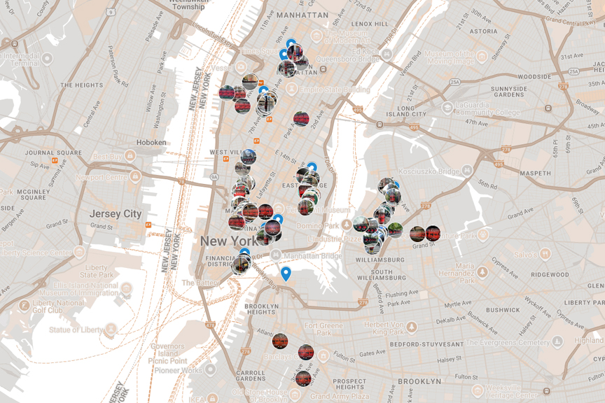
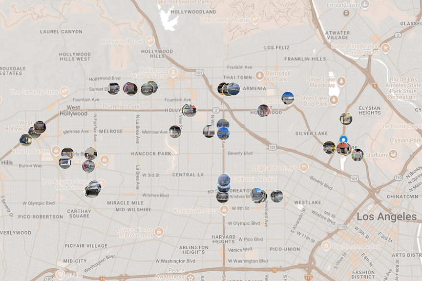
A georeferenced route map with each corridor segment annotated with traffic speed observations, pedestrian density notes, and time-of-day performance windows. The route is sequenced for loop efficiency with clear start and end points for each deployment hour.
An estimated impression count for each route segment based on observed vehicle volumes and pedestrian counts during the relevant time windows. Impression estimates are organized by segment so the client can weight the route toward higher-performing sections if the deployment window is shorter than the full route allows.
A time-of-day routing schedule that specifies when each segment performs best and recommends the sequence and timing for campaigns that run during multiple time windows in the same day. Commute-hour routing differs from afternoon retail routing differs from nightlife routing even on the same geographic corridors.
Documentation of all applicable truck restrictions on candidate corridors: vehicle height and weight restrictions, advertising vehicle regulations, time-of-day restrictions by zone, and any event-specific closures that affect the route during the campaign window.
For campaigns coinciding with major local events, a specific event overlay routing plan that identifies the highest-value approach and egress corridors for the event audience, with timing recommendations tied to event door and dismissal windows.
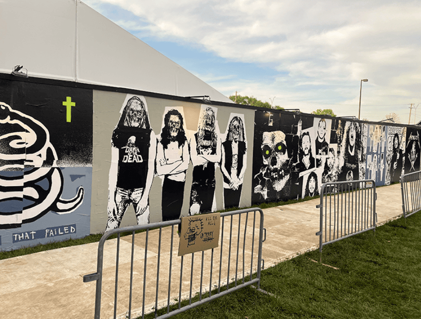
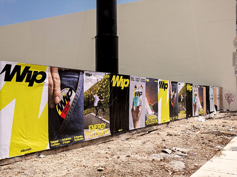
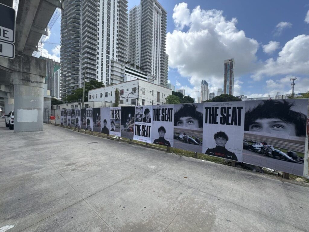
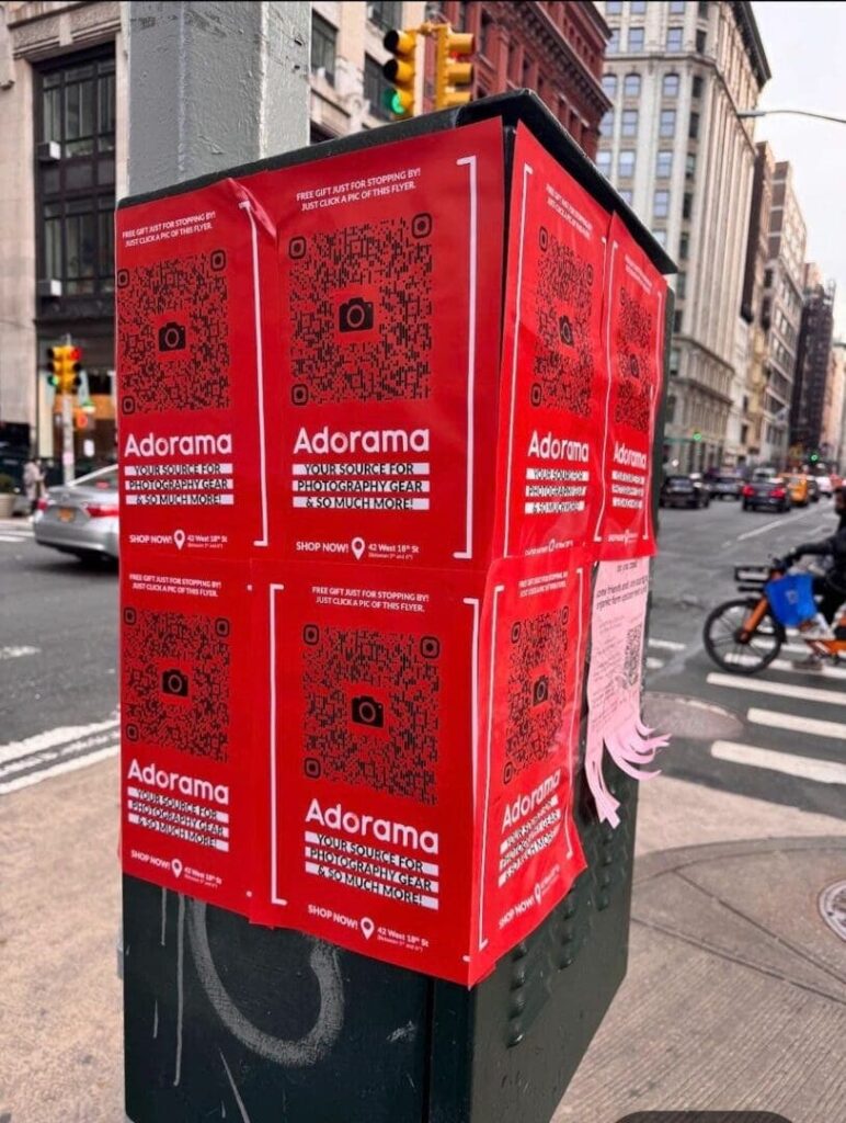
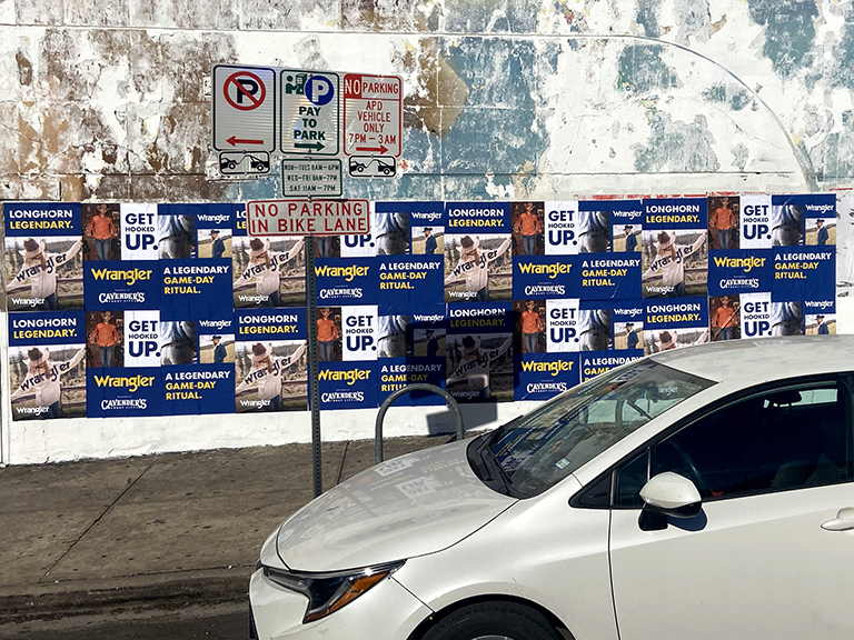
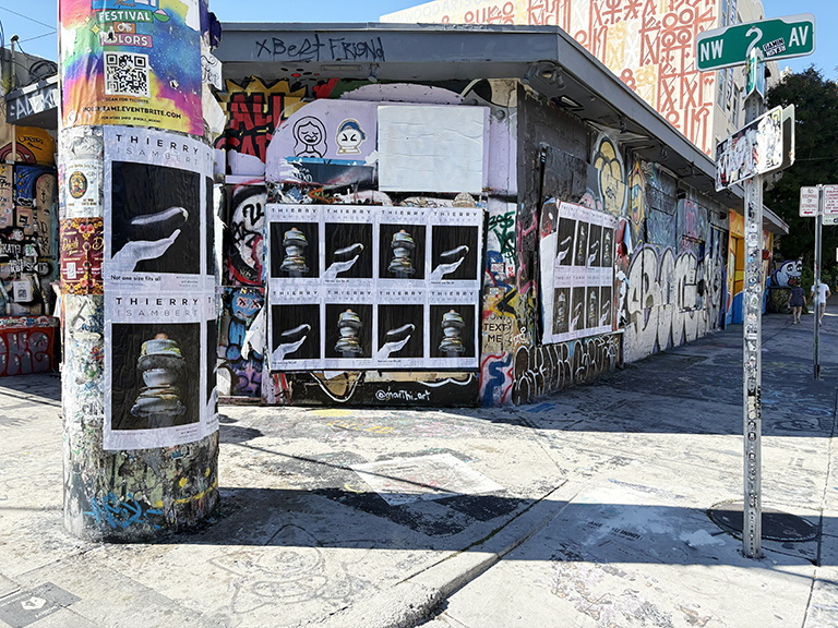
A mobile billboard truck moving through a target corridor amplifies the effect of street-level campaigns running in the same geography. A pedestrian who sees a wheatpaste campaign on the walls of a nightlife corridor, then sees the same brand message on an LED truck passing that corridor an hour later, receives two distinct format impressions in the same environment. This multi-format layering effect is one of the strategic advantages of planning mobile billboard routes in conjunction with street-level inventory rather than treating them as separate programs. Our route scouting reports are formatted to align geographically with wheatpaste wall inventories, snipe pole routes, and street team deployment zones in the same markets, so campaign managers can see the full physical media landscape in a single geographic view and make multi-format decisions with complete information. For the full framework, see AGM’s guerrilla marketing services covering the complete range of outdoor campaign formats.
The right venue reaches your audience when they are relaxed, social, and receptive. Finding that venue requires field research, not a Yelp search. We identify and vet the bars, restaurants, and nightlife spots that match your brand and your target audience.
Learn More
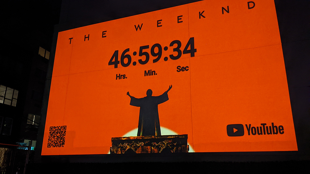
Projection media is technically demanding before it is creatively demanding. The geometry has to work. The ambient light has to cooperate. The wall has to take the image. We scout all of it before you book the equipment.
Learn More
University campuses have their own geography, their own pedestrian logic, and their own advertising rules. Our field operators map it all before a single dollar goes into production.
Learn More
AGM scouts corporate campuses, office parks, and business districts to identify the pedestrian zones, commuter corridors, parking approaches, and surface inventory where guerrilla marketing campaigns reach employees, contractors, and visitors at their daily access points.
Learn More
The best opportunity to reach a defined audience in a concentrated geographic zone happens in the hours before and after a major event. We map the entire perimeter, document every approach route, and rank every activation zone before the crowd arrives.
Learn More
A brand stunt in the wrong plaza is a brand stunt nobody sees. We find the exact intersection, courtyard, or public space where your target audience concentrates, document the logistics, research the permits, and hand you a site that works.
Learn More
A billboard truck running the wrong corridor delivers impressions to an audience that was never the target. We map the routes that put your LED or static display in front of the specific people you need to reach, at the times they are actually there.
Learn More
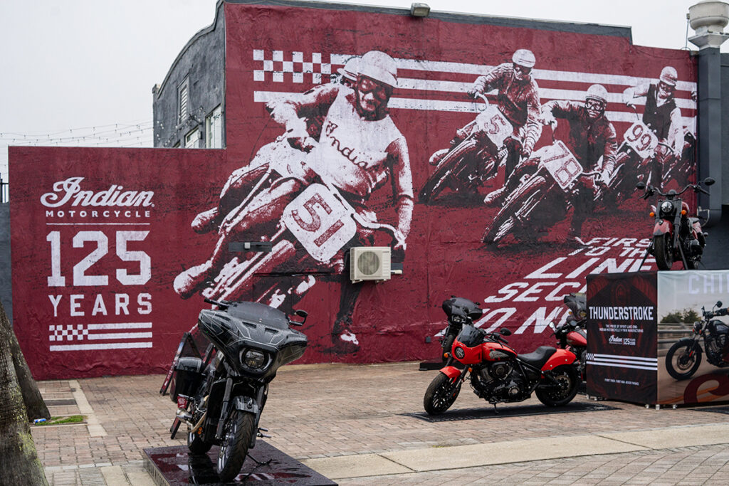
A mural is a permanent statement. The wall you choose determines whether it gets seen by thousands daily or disappears behind a dumpster. We find the right wall before your production team touches a brush.
Learn More
Distribution campaigns fail when the neighborhood data is wrong. A door hanger campaign in the wrong building type, the wrong demographic zone, or a neighborhood with access barriers the crew was not briefed on burns print and labor on zero-return addresses. We fix that before the crew goes out.
Learn More
Actually, A mobile boutique parked in the wrong block is invisible to the audience you paid to reach. We find the locations where your pop-up will attract the people it needs, and document everything from loading access to permit requirements before you commit to a date.
Learn More
Snipe placements, sidewalk decals, and stencil campaigns all depend on knowing the specific poles, pavement, and intersections that your audience actually passes. We map that territory before your crew hits the street.
Learn More
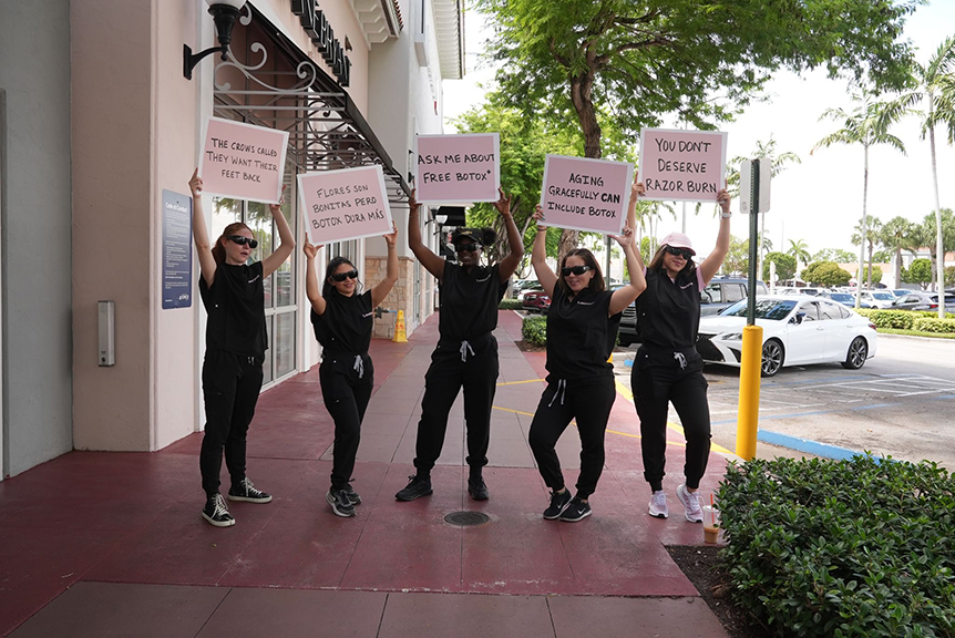
Brand ambassadors are only as effective as the zone they are deployed in. We identify the intersections, transit stops, and venue approaches where your exact target demographic concentrates, count the traffic, and confirm the deployment makes sense before your team hits the street.
Learn More
Subway exits, bus stops, and train stations concentrate thousands of people at defined physical points on a predictable daily schedule. We map those points, document the surface inventory within reach, and profile the commuter audience by line, exit, and time window.
Learn More
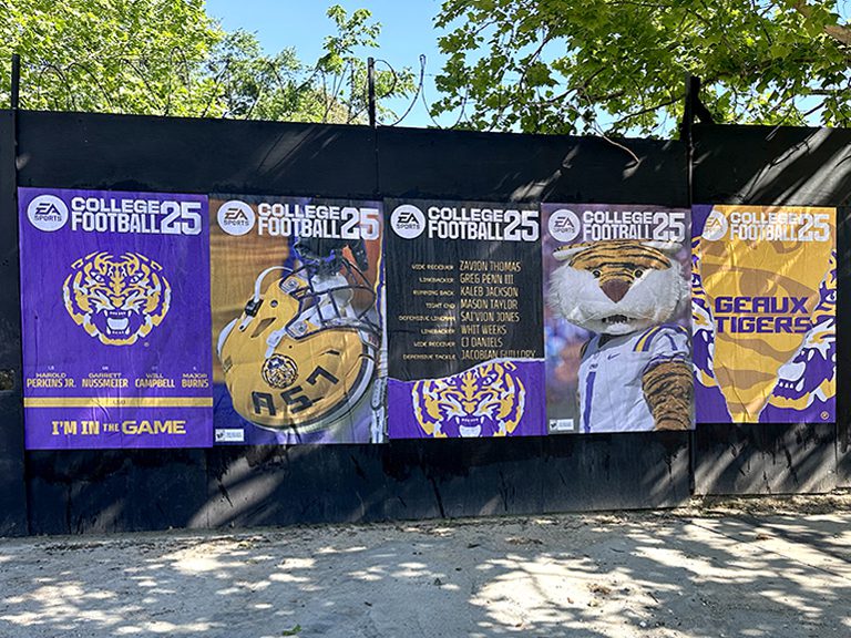
A wheatpaste campaign lives or dies on wall selection. The wrong surface peels in 48 hours. The wrong neighborhood tears posters down before the paste dries. We find the walls that work, in the neighborhoods where posting belongs.
Learn More
Regional brands entering new markets use route scouting to identify the commuter corridors, commercial strips, and event-day approach routes where their target customer already moves — ensuring the truck runs where impressions are maximized rather than where fleet logistics are most convenient.
Concert promoters, sports franchises, and entertainment venues use mobile billboard scouting to design routes that intercept the target audience in transit — mapping the corridors that feed into event venues and the residential neighborhoods where ticket-buyers and fans live.
Consumer technology brands use route scouting to identify the commuter and downtown corridors where early-adopter and professional audiences are in transit daily — the windows where a mobile impression reaches someone actively looking at a screen and primed for brand recall.
Political campaigns and advocacy organizations use route scouting to target specific precinct corridors, polling place approaches, and high-voter-density residential routes with mobile messaging timed to election windows and key campaign moments.
Our operators drive candidate corridors at the relevant time windows and record average travel time between fixed points. Travel time divided by distance gives the average speed. Multiple runs at different times of day build a speed profile for the corridor across the campaign’s deployment window. For critical corridors, we also observe from a fixed roadside position to document stop-and-go patterns at specific intersections where the truck will experience its lowest speeds and highest audience dwell times.
Truck size selection depends on the specific street dimensions and any municipal restrictions in the target corridor. Many dense urban grids are accessible to standard-width trucks but restrict overwidth loads. Our route research documents the minimum street width at the narrowest point of each candidate corridor and notes any turning radii that restrict larger vehicles at specific intersections. This goes to the production team so the right vehicle size is confirmed before the campaign launches.
In many markets, stationary advertising vehicle positioning is regulated differently from moving vehicles, and some high-value locations allow a parked truck for specific time windows under a temporary parking permit or event authorization. Stationary positioning can be effective in very high foot traffic zones where dwell time exceeds what a moving vehicle achieves. Our route research notes locations where stationary parking is feasible and documents the applicable parking regulations at those positions.
LED trucks can display multiple creative messages on a rotating schedule, which allows the same truck to serve multiple campaign objectives or multiple advertisers in a single deployment. The route plan for an LED truck may include segments optimized for different creative messages based on the audience at each part of the route. Static print trucks carry a single fixed message, which simplifies creative but means route planning focuses on the single audience profile rather than segmenting by message.
Yes. Impression estimates by route segment are a standard component of the scouting deliverable. Estimates are based on observed vehicle volumes and pedestrian counts during the relevant time windows at each corridor segment. We present impression estimates by segment rather than as a single total so the client can evaluate the relative performance of different parts of the route and make informed decisions about where to concentrate deployment time.
Yes. Multi-market route planning is a standard scope for our scouting team. We coordinate field operators in each target market, conduct route research simultaneously, and deliver a consolidated report with city-by-city route maps and timing schedules. This is more efficient than commissioning sequential city reports when launch timelines are tight and all markets need to go live in the same window.
Effectiveness depends on the target audience. Commuter-targeted campaigns perform best during the morning and evening peak hours when traffic is slowest and vehicle occupant concentration is highest. Nightlife and entertainment-targeted campaigns perform best in the evening hours when the target audience is on the streets and in a leisure mindset. Event-targeted campaigns need to be on the road during the pre-event and post-event windows tied to specific venues and schedules. Our timing schedule in the route report documents the specific hours when each corridor segment performs best for the campaign’s audience.
Municipal truck restrictions range from weight limits on specific streets to height restrictions on underpasses to explicit prohibitions on advertising vehicles in specific zones. Some restrictions apply only during certain hours, creating windows when a corridor is accessible that would otherwise be blocked. Our route research documents all restrictions applicable to billboard truck operations on candidate corridors and eliminates non-compliant routes before presenting the final plan to the client.
Yes. The initial route scouting report establishes the primary recommended route and backup corridors. Adjustments based on real-time conditions during the campaign deployment, such as road closures, events affecting traffic patterns, or performance data showing better results on specific segments, are a normal part of campaign management. The scouting report is the planning foundation; field operators make real-time adjustments within the approved corridor framework.
Mobile Billboard Route Scouting scouting reports deliver in 7 to 10 business days from confirmed brief receipt. The brief should specify the target market, the campaign audience profile, the deployment dates and times, and any geographic constraints or event anchors that define the target zone. Brief us as early as possible before the campaign launch date to allow adequate time for route research, permit research where applicable, and any vehicle-specific logistics planning required by the production team.
AGM operates a national network of field operators. We have scouted campaigns in every U.S. state and the District of Columbia. Whether your campaign targets a dense urban core or a suburban retail corridor, we have operators who know the territory.