American Guerrilla Marketing
Nationwide serivce
Media planning, media buying, billboard advertising, & guerrilla marketing
Subway exits, bus stops, and train stations concentrate thousands of people at defined physical points on a predictable daily schedule. We map those points, document the surface inventory within reach, and profile the commuter audience by line, exit, and time window.
Every transit adjacency we document has been visited in person during peak transit hours, with foot traffic counted and surface conditions confirmed on the ground by our field operators. Transit stations and stops are the most predictable audience concentration points in any city. They exist at fixed geographic locations. They concentrate specific demographic groups based on the lines and routes they serve. They operate on schedules that are more consistent than foot traffic in retail or nightlife environments. And they generate millions of pedestrian-hours of exposure per year on the surrounding sidewalks within 100 feet of every exit.
Our operators walk the streets before any campaign begins. That field knowledge is what makes AGM scouting reports different from filtered database outputs.
Our transit adjacency scouting process runs in five phases. First, we map the target transit system and identify the highest-ridership stations and corridors within the target geography. Second, we document the pedestrian zones adjacent to those stations: the sidewalk approaches, the bus stop queues, the bike share and taxi staging areas where commuters dwell before entering or after exiting the system. Third, we assess surface inventory in those zones: building faces, construction hoardings, freestanding structures, and any non-transit-authority surfaces that carry placement exposure to the commuter audience. Fourth, we document any municipal or transit authority regulations that apply to placements in transit-adjacent zones. Fifth, we deliver a prioritized placement inventory with ridership data, surface assessments, and regulatory notes.
This service type is led by AGM field operators Dana Kowalski and Tom Ferrara, who between them have documented transit-adjacent placement opportunities across more than 40 transit systems in 25 markets. Operators who haven’t visited a site don’t recommend it. That’s the standard for every brief this team produces.
AGM’s operators bring genuine Transit Adjacency Scouting expertise to every client engagement: format-specific location assessment, foot traffic analysis, environmental suitability evaluation, and property or permit pathway documentation. Specialist Transit Adjacency Scouting knowledge built from real campaign execution is what turns a location list into a report you can execute from directly.
Every guerrilla marketing campaign in a transit-served market needs to account for transit adjacency. The question is not whether to incorporate transit exits into the scouting scope; it is which exits in which markets serve the specific audience the campaign targets. The 86th Street stop on the NYC 4/5/6 line on the Upper East Side serves a very different demographic from the Bedford Avenue L stop in Williamsburg. The Montgomery BART station in San Francisco serves the Financial District commute corridor. The Lincoln Park stop on the Chicago Brown Line serves the Lincoln Park and Wrigley neighborhood young professional and restaurant-industry audience.
AGM transit adjacency scouting delivers exit-by-exit ridership documentation, surface inventory within 100 feet of each exit, commuter flow mapping, format recommendations by exit type, and permit research for each municipality. Delivered in 7 to 10 business days.
Every Transit Adjacency Scouting report AGM delivers reflects firsthand field intelligence from operators who visited transit exits during peak commute hours, documented pedestrian dispersal patterns, and GPS-confirmed viable surfaces at station perimeters before making any Transit Adjacency Scouting recommendation. Contact us to start your Transit Adjacency Scouting brief.
Most transit systems publish aggregate station ridership data. What published data does not provide is exit-by-exit volume, which matters enormously because a four-exit station may have one exit serving 60 percent of the boarding and alighting traffic and three exits serving the remaining 40 percent. Our operators conduct exit-specific counts during the relevant peak windows to document the actual distribution of ridership by exit. This exit-level precision is what makes transit adjacency scouting genuinely useful rather than just pointing at a busy station on a map.
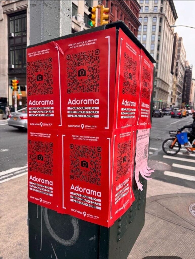
The sidewalk within 100 feet of a transit exit is the highest-density guerrilla marketing zone in any transit-served market. In that 100-foot radius, every surface needs to be inventoried: utility poles for snipe advertising, pavement surface conditions for decals and stencils, building walls for wheatpaste or mural formats, and any fixed street furniture that might be useful for supplementary placements. Our operators walk a full 100-foot radius around every target exit and document every physical advertising surface within that zone.
Bus stops at major surface routes create dwell time environments where waiting riders have 2 to 8 minutes of stationary exposure time. The surfaces within visual range of a bus stop bench, including the walls opposite the stop, the pole-mounted signage directly adjacent, and the pavement at the waiting area, receive extended attention from a standing audience that is not rushing to get anywhere. Our operators document bus stop dwell positions and the visual field from each waiting position to determine which surrounding surfaces are actually seen during the wait.
Transit lines serve demographically specific corridors. The BART Fremont line serves a different population than the Richmond line. The Red Line in Washington D.C. connecting Shady Grove to Glenmont serves different neighborhoods and different demographic segments at each end. Our operators document the demographic profile of commuters emerging from specific exits during peak hours, which provides a field-verified profile that supplements the published neighborhood demographic data.
The blocks between a transit exit and the employment, retail, or residential destination they serve are first-and-last-mile pedestrian routes that concentrate specific commuter audiences in predictable geographic channels. A campaign targeting employees of a specific office tower or hospital campus can map the route from the nearest transit exit to that destination and execute placements along that route to reach the specific audience during their daily commute walk. Our operators walk these first-and-last-mile routes and document the surface inventory and pedestrian flow along each.
Bus stop shelters and transit kiosks are often surrounded by advertising placements from the transit authority’s own ad programs. The surfaces immediately adjacent to these structures, outside the authority’s licensed inventory, include utility poles, building walls, and pavement that fall under different jurisdictions and are accessible for guerrilla placements. Our operators document the relationship between transit authority shelter positions and the surrounding non-licensed surface inventory at each priority stop.
The New York City subway has 472 stations serving over 3 million riders per weekday. Exit-level scouting in the NYC subway system focuses on the above-ground exits and the sidewalk environment within 100 feet of each exit. Priority exits for most guerrilla campaigns include: the major IND and BMT stations serving Midtown Manhattan (42nd Street-Bryant Park, 34th Street-Herald Square, 51st Street and Lexington), the L line exits at Bedford Avenue (Williamsburg), 1st Avenue (East Village), and 14th Street-Union Square, and the A/C/E exits at 14th Street-8th Avenue (Chelsea/West Village nexus).
The Chicago Transit Authority elevated rail system has 145 stations spread across eight color-coded lines. Exit-level scouting in Chicago focuses on the elevated station stair descents and the ground-level sidewalk immediately at the base of the stairs. The intersection of Chicago, Milwaukee, and Damen (Wicker Park/Bucktown Blue Line) serves one of the city’s densest young-professional and creative-industry audiences at above-ground exit points that are ideal for wheatpaste and snipe formats. The Brown Line stops at Armitage, Sedgwick, and Chicago stations serve the Lincoln Park and Old Town upscale professional corridor.
BART stations serving the San Francisco Financial District and SoMa neighborhoods, particularly the Montgomery Street, Embarcadero, and Civic Center stations, concentrate the Bay Area’s highest-density tech, finance, and creative industry commuters. The 16th Street Mission and 24th Street Mission stations serve the Mission District’s young, creative audience with a heavy tech and arts industry concentration. BART station exits frequently have significant sidewalk surface area for wheatpaste campaigns and active pole infrastructure for snipe programs.
The Washington Metropolitan Area Transit Authority Metro system serves a highly educated, politically engaged, and professionally diverse ridership. Key exits for guerrilla campaigns include the Dupont Circle Red Line exits (double escalator exits that create natural bottlenecks), the U Street/Cardozo Green Line exit serving the U Street corridor nightlife and arts scene, and the Columbia Heights Green Line exit serving the dense residential and commercial corridor at 14th Street and Park Road NW.
Boston’s MBTA Green Line surface stops along Boylston, Arlington, Copley, and Hynes Convention Center in Back Bay create above-ground stop environments with significant sidewalk dwell zones. The Kendall/MIT Red Line stop in Cambridge serves the biotech and technology corridor between MIT and the Kendall Square research campus. The Porter Square and Davis Square Red Line stops serve the Somerville young-professional and university-adjacent demographic with strong community engagement characteristics.
Metra station zones, particularly at suburban stops serving corporate campus clusters like the Oak Brook and Naperville corridors on the BNSF line, concentrate suburban professional commuters at platform-level and parking structure approaches. Campaigns targeting suburban corporate employees use Metra station environments as a complement to the downtown L-station coverage, reaching the same demographic in their suburban residential mode rather than their downtown commute mode.
The placement inventory for transit adjacency scouting is maintained by AGM’s certified, licensed field experts — professionals whose surface assessments come from direct evaluation, not desk research.
Award Winning Personalized Service
You will get thoughtful, devoted, and individualized attention from our experienced, qualified, and professional personnel. Being one of the most illustrious agencies in Brooklyn, New York, American Guerrilla Marketing has been awarded the Best of Brooklyn title.
Nationwide
Industry City, Brooklyn, New York 11232
American Guerrilla Marketing
Hours
Mon - Fri: 9 AM - 5 PM
Sat & Sun: Closed
Automate your campaign with AGM’s Request for Proposal Builder. Simply answer a few quick questions about your campaign goals, markets, and timeline, and the system will generate a tailored presentation with recommended strategies, quantities, and pricing. Click the RFP Builder to instantly receive your customized proposal.
Field-observed exit-level ridership counts during peak time windows for each priority station, with a directional flow map showing where exiting riders go immediately upon reaching street level. This is the foundational data that determines which exit warrants campaign investment and which is a secondary option.
A complete inventory of every physical advertising surface within the 100-foot radius of each target exit, organized by format type: poles for snipe, building walls for wheatpaste, pavement for decals and stencils. Each surface entry includes the distance from the exit, the surface spec relevant to the format, and a photograph from the pedestrian approach angle.
A documented map of the primary pedestrian routes from each target exit to the major employment, retail, and residential destinations in the surrounding blocks, with observation notes on pedestrian volume and walking speed along each route.
A specific format recommendation for each target exit based on the physical environment, surface inventory, and commuter flow pattern. A narrow exit staircase onto a high-volume sidewalk with utility pole adjacency gets different format recommendations than a wide plaza exit with pavement area accessible for stencils and low pole density.
The applicable permit requirements for street-level advertising formats in the specific municipality where each exit is located. Transit system property (the exit structure itself) is regulated differently from the adjacent public sidewalk, which is in turn different from any private property in the immediate radius. Our permit research maps all three jurisdictions for each exit and identifies which formats are viable in each regulatory zone.
Transit adjacency scouting feeds directly into snipe advertising on poles within the transit exit radius, sidewalk decal and sidewalk stencil campaigns at the exit landing zones, and wheatpaste campaigns on the building walls on first-and-last-mile commute routes. Brand ambassador programs at transit stop dwell zones capture the captive waiting audience. For the full multi-format framework, see AGM’s guerrilla marketing services.
The right venue reaches your audience when they are relaxed, social, and receptive. Finding that venue requires field research, not a Yelp search. We identify and vet the bars, restaurants, and nightlife spots that match your brand and your target audience.
Learn More
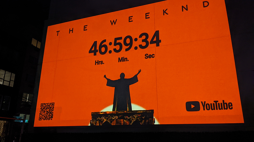
Projection media is technically demanding before it is creatively demanding. The geometry has to work. The ambient light has to cooperate. The wall has to take the image. We scout all of it before you book the equipment.
Learn More
University campuses have their own geography, their own pedestrian logic, and their own advertising rules. Our field operators map it all before a single dollar goes into production.
Learn More
AGM scouts corporate campuses, office parks, and business districts to identify the pedestrian zones, commuter corridors, parking approaches, and surface inventory where guerrilla marketing campaigns reach employees, contractors, and visitors at their daily access points.
Learn More
The best opportunity to reach a defined audience in a concentrated geographic zone happens in the hours before and after a major event. We map the entire perimeter, document every approach route, and rank every activation zone before the crowd arrives.
Learn More
A brand stunt in the wrong plaza is a brand stunt nobody sees. We find the exact intersection, courtyard, or public space where your target audience concentrates, document the logistics, research the permits, and hand you a site that works.
Learn More
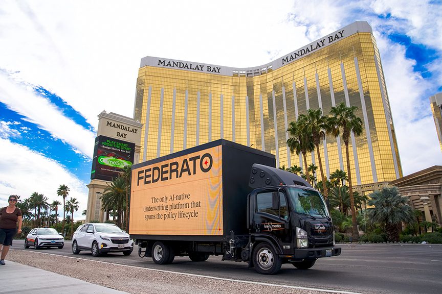
A billboard truck running the wrong corridor delivers impressions to an audience that was never the target. We map the routes that put your LED or static display in front of the specific people you need to reach, at the times they are actually there.
Learn More
A mural is a permanent statement. The wall you choose determines whether it gets seen by thousands daily or disappears behind a dumpster. We find the right wall before your production team touches a brush.
Learn More
Distribution campaigns fail when the neighborhood data is wrong. A door hanger campaign in the wrong building type, the wrong demographic zone, or a neighborhood with access barriers the crew was not briefed on burns print and labor on zero-return addresses. We fix that before the crew goes out.
Learn More
Actually, A mobile boutique parked in the wrong block is invisible to the audience you paid to reach. We find the locations where your pop-up will attract the people it needs, and document everything from loading access to permit requirements before you commit to a date.
Learn More
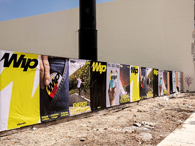
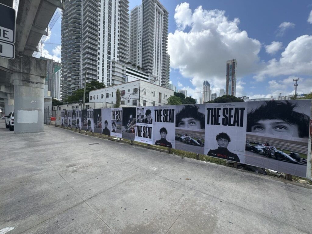
Snipe placements, sidewalk decals, and stencil campaigns all depend on knowing the specific poles, pavement, and intersections that your audience actually passes. We map that territory before your crew hits the street.
Learn More
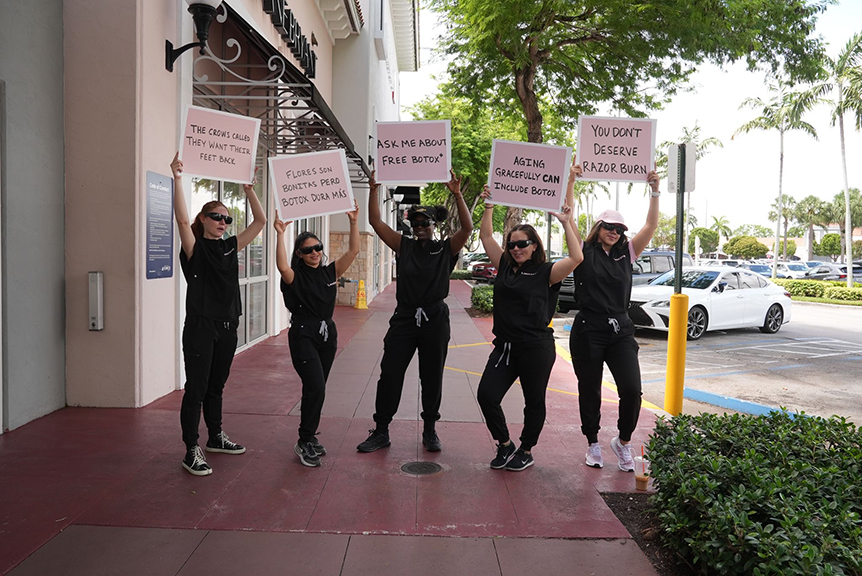
Brand ambassadors are only as effective as the zone they are deployed in. We identify the intersections, transit stops, and venue approaches where your exact target demographic concentrates, count the traffic, and confirm the deployment makes sense before your team hits the street.
Learn More
Subway exits, bus stops, and train stations concentrate thousands of people at defined physical points on a predictable daily schedule. We map those points, document the surface inventory within reach, and profile the commuter audience by line, exit, and time window.
Learn More
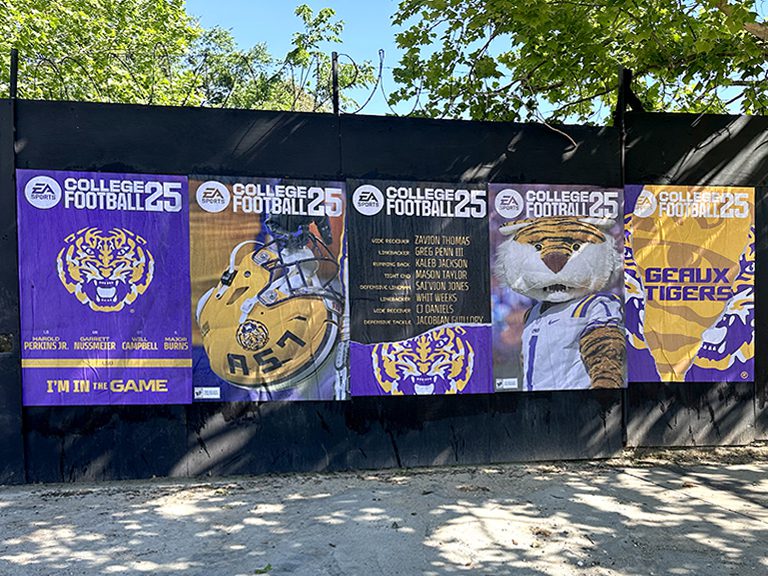
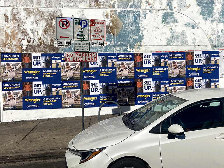
A wheatpaste campaign lives or dies on wall selection. The wrong surface peels in 48 hours. The wrong neighborhood tears posters down before the paste dries. We find the walls that work, in the neighborhoods where posting belongs.
Learn More
Banks, fintech apps, and financial services brands use transit adjacency scouting to identify the station exits and commuter corridors where working professionals are in the highest-attention, lowest-distraction window of their day — in transit between home and office, mentally primed for the financial decisions they’re making at both endpoints.
Productivity apps, navigation tools, podcast platforms, and news subscriptions use transit scouting to identify the station environments where daily commuters see the same placement repeatedly — building the frequency of impression that turns brand awareness into download intent over a two to three week exposure window.
Retail brands and restaurant chains near transit hubs use adjacency scouting to identify the exit corridors that funnel commuter foot traffic toward their nearest location — placing directional campaigns that convert transit exposure into same-day store visits from captive commuter audiences.
Health systems, insurance companies, and wellness brands use transit adjacency scouting to reach the working-age adult demographic at the commuter scale — identifying the station environments where the professional-adult audience that drives healthcare decision-making is concentrated in the highest accessible density outside of workplace media.
Demographic identification starts with the line and station context: which neighborhoods the transit line connects, which employment centers the station serves, and the general socioeconomic profile of the neighborhoods at each end of the line. This desk research is supplemented by field observation during exit-level counts, where operators document the demographic profile of exiting riders directly. Lines serving specific employment sectors, such as biotech corridors, financial districts, or creative industry clusters, have identifiable demographic profiles that are verified and documented in the scouting report.
Yes. Bus stop environments, particularly the major surface routes serving dense commercial corridors in markets without heavy rail, are a core component of transit adjacency scouting. Bus stops on major arterials in markets like Los Angeles, Phoenix, Dallas, and Houston serve transit-dependent populations that are underserved by campaigns focused exclusively on rail transit exits. The surface inventory and dwell time patterns at bus stops are scouted using the same methodology as rail exit environments.
The answer depends on the campaign format and the specific exit geometry. For high-volume exits onto wide commercial sidewalks, the utility poles on the immediate exit approach serve the highest-volume audience and rank as the top surface for snipe formats. For exits onto blocks with building walls directly opposite the exit staircase, the facing wall captures the direct visual attention of everyone exiting. For pavement suitability, the landing zone at the base of exit stairs is often smooth, maintained concrete that is ideal for decal or stencil formats.
Transit authority advertising, purchased through the authority’s official ad program, occupies licensed surfaces including shelter panels, kiosk faces, and often the walls immediately inside transit structures. Our scouting maps the specific boundaries between transit authority-licensed surfaces and the public sidewalk and private property surfaces that fall outside that inventory. Guerrilla placements in the transit adjacency zone avoid the licensed authority surfaces and concentrate on the surrounding public and private surfaces.
Yes, and combining formats at a transit exit often maximizes the per-location investment. Snipe placements on the poles at the exit approach create passive impression volume from the daily commuter flow. A street team deployed at the exit during peak windows converts that same audience into direct engagement. The two formats work together without competing for the same physical space, since the poles are vertical and the street team operates in the pedestrian flow zone below them.
In markets served only by bus transit, such as most Sun Belt metro areas, the transit adjacency scouting methodology adapts to focus on major bus transfer points, downtown transit centers, and the high-frequency bus routes serving the target demographic corridors. These environments lack the concentration intensity of subway exits but still provide identifiable audience clustering at specific physical points on a predictable daily schedule. We document the applicable surface inventory and audience profile at priority bus transit concentration points in each market.
Peak exit times vary by transit line, station location, and the employment or residential character of the surrounding neighborhood. Stations serving employment centers peak on inbound trips in the morning (7 to 9 a.m.) and outbound trips in the evening (5 to 7 p.m.). Stations serving nightlife and entertainment districts have a completely different peak pattern, often running 9 p.m. to 2 a.m. on weekends. Our scouting documents the specific peak times for each target exit based on field observation rather than assuming a standard morning-evening commute pattern.
Major transfer stations where multiple lines intersect, such as Times Square-42nd Street in New York or Clark/Lake in Chicago, have very high total volume but also high flow speed because commuters are rushing to make transfers. Local stations with single-line service have lower volume but more leisurely pedestrian behavior at the exit, which supports different engagement formats. Our report documents the pedestrian behavior at each exit type and adjusts format recommendations accordingly: high-speed transfer exits favor passive formats like snipe and poster; local station exits with slower pedestrian pace favor engagement-based formats.
Our transit adjacency scouting focuses on the above-ground environment within 100 feet of transit exits and on the first-and-last-mile pedestrian routes from exits to destinations. Interior station advertising is regulated by the transit authority as licensed media inventory and is generally not accessible for guerrilla marketing formats. Some transit authorities allow street-art style installations in specific station environments through a permit process, but this is a distinct program from standard guerrilla campaign placements.
Transit Adjacency Scouting scouting reports deliver in 7 to 10 business days from confirmed brief receipt. Brief us with the target transit system and stations, the campaign audience profile, the planned campaign format, and the deployment time windows so the field team conducts observations during the specific time windows relevant to the campaign rather than general daytime hours that may not reflect the peak for the target audience.
AGM operates a national network of field operators. We have scouted campaigns in every U.S. state and the District of Columbia. Whether your campaign targets a dense urban core or a suburban retail corridor, we have operators who know the territory.